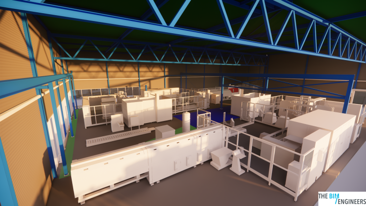
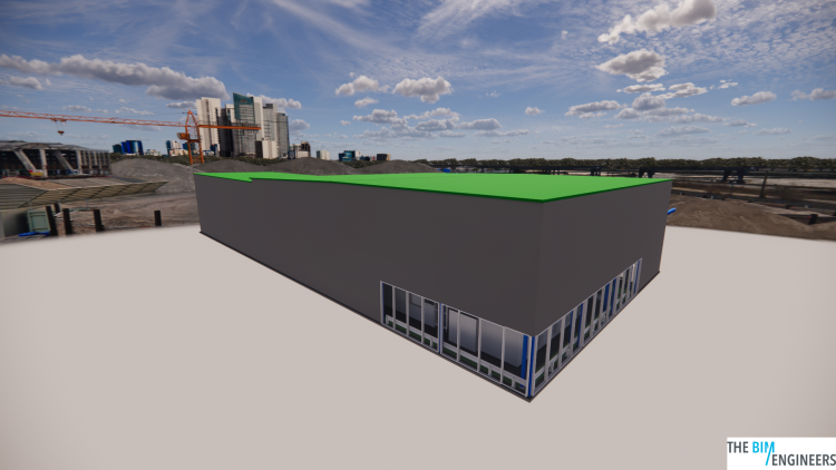

Building Information Modeling (BIM) and Geographic Information Systems (GIS) are powerful tools for architects, engineers, and construction professionals to design and build buildings more efficiently. BIM involves creating a digital representation of a building, including its geometry, spatial relationships, and other construction and design data. GIS is a system for capturing, storing, analyzing, and displaying spatial and geographic data.
The use of BIM in collaboration with GIS allows professionals to incorporate geographic and contextual information into the building design process. This can provide significant benefits for teams and stakeholders, including improved coordination, enhanced visualization and analysis, and more accurate and efficient design and construction.
One of the key benefits of using BIM in collaboration with GIS is the ability to improve coordination and collaboration between different teams and stakeholders on a project. By combining the digital building model with geographic and contextual data, teams can better understand the location, context, and potential impact of the building on its surroundings.
This can help to reduce errors, save time, and improve the quality of the final product. It also allows for greater visualization and analysis of the building and its surroundings, enabling design teams to make more informed decisions and optimize the design before construction begins.
The integration of BIM and GIS also enables enhanced visualization and analysis of the building and its surroundings. The GIS data can be used to create detailed maps and 3D models, which can help teams to better understand the geographic and contextual context of the building. This can support decision-making and design optimization, and help teams to identify potential risks and opportunities.
In addition, the integration of BIM and GIS can support environmental analysis, such as solar and wind studies, and allow teams to assess the potential impact of the building on the natural environment. This can help teams to design more sustainable and resilient buildings.
The use of BIM in collaboration with GIS can also support more accurate and efficient design and construction. The GIS data can be used to verify the accuracy of the building model and ensure that it is correctly aligned with the geographic context. This can help to avoid costly mistakes and ensure that the final building meets the project's goals and requirements.
In addition, the integration of BIM and GIS can support automated construction processes, such as robotic surveying and 3D printing. This can improve the speed and efficiency of the construction process, and reduce the need for manual labor and on-site coordination.
To get started with BIM in collaboration with GIS, it is recommended to take a training course or seek out professional guidance. This will ensure that you have the knowledge and skills necessary to create high-quality BIM models and integrate them with GIS data. It is also important to have access to accurate and up-to-date GIS data, and to have the necessary software and hardware to support the integration of BIM and GIS.
Copyright © 2024 The BIM Engineers. All Rights Reserved | Design & Developed by Prettify Creative