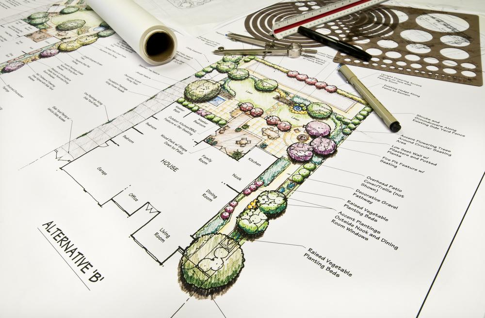


The use of BIM in landscape architecture by designers In spite of the fact that BIM has traditionally been used in the design and construction of buildings, more and more landscape architects are beginning to use it to produce clever, functional designs that are packed with important data. Even though they don't create structures, landscape architects nevertheless create development landscapes.
This work necessitates complete clarity regarding how a landscape will appear once it is completed, how it will effect the nearby buildings, and even how it will change over time.
Landscape architects are achieving project objectives more effectively and making it simpler to link their work with the rest of the project infrastructure by utilising the detailed data made available by BIM. Designing a landscape with BIM support also makes it simpler to collaborate inside a single model.
What distinguishes BIM models from the conventional 3D models that landscape designers are accustomed to using when contemplating BIM in landscape architecture is one of the first queries that arises.
The ability of each model type to hold data is what sets them apart. Your model can be filled with data about every element of the design and the materials used for the landscape model thanks to BIM.
A BIM Workflow in Landscape Architecture Has Many Advantages.
Landscape designers no longer have to limit themselves to creating only visual models for their contributions to developments; they can now provide even more precise and usable data-filled models that can be readily turned into construction papers. When the designer populates BIM models with the necessary data, they can give a breakdown of the different elevations of the landscape as well as information on the kinds, prices, and amounts of materials needed.
This makes it possible for landscape designers to collaborate with other project participants more effectively. Project managers can easily have a clear and accessible overview of everything relevant to the landscaping phase, and architects can readily reference landscape data and analyse how it fits in with their work. Additionally, they can merge their own BIM models with the landscape BIM model, taking advantage of the interoperability to produce a master BIM model for the whole project.
The entire team can make sensible design revisions and identify optimization opportunities thanks to such integration and clarity. It is possible to keep projects on schedule more closely and prevent costly errors or rework.
Copyright © 2024 The BIM Engineers. All Rights Reserved | Design & Developed by Prettify Creative